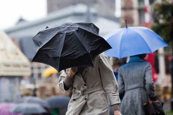
It’s time to wave goodbye to your flip flops and summer dresses because the bad weather is making an unwelcome return to Great Britain.
The days of never-ending sunshine and high temperatures are no more.
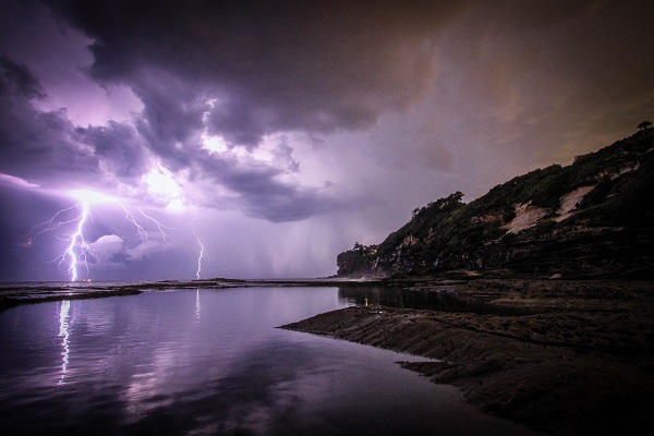
According to the Met Office, the UK is set to experience intense downpours and thunderstorms this week.
A yellow thunderstorm warning is in place from 11am on Monday, August 13. It will remain in place until 10 pm on Monday night.
Thinking about lunch? You'll need your raincoat across eastern England with heavy and #thundery downpours. Elsewhere, it's fairly warm with some spells of rain but also a little sunshine pic.twitter.com/UF2ZxDvUd0
— Met Office (@metoffice) August 13, 2018
Heavy showers and thunderstorms are forecasted for Monday afternoon. They have warned the public to be wary of potential flooding due to the severity of the rainfall.
They believe 40mm of rain could fall within a mere two hours.
The bad weather may cause road closures. Drivers have been asked to be extremely cautious when traveling.
They said there is potential flooding of homes and businesses. They added that there could be damage to some buildings from flood water, lightning strikes or hail.

The public has also been warned of the possibility of power cuts and other services to some homes and businesses could be lost.
The East Midlands, East Anglia, Yorkshire and Humber are all at risk of being affected.
Britain experienced one of it’s best and hottest summers in years with temperatures reaching the late 30s in some areas.
Fear not, the bad weather won’t be sticking along for too long. The Met Office believes the weather will improve towards the weekend, but for now get the brollies at the ready.